About Us
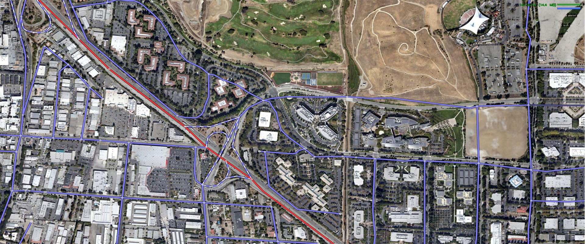
Liberty Global Tracers – The Complete solution to visualize and manages your property boundaries through Color – Coded plotted easement maps.
We are excel and proficient to create and provide with a very good visual of what exists in the preliminary report with 100 % quality & reliability.

Why Choose Us
We Provide Word Class Mapping Services
Given the cut-throat competition in the B2B space, delivering a great customer experience word class service that thoroughly satis...
Affordable Prices
The first and most important reason that our services are competitively priced is because we choose to be affordable. We believe i...
24/7 Online Support
Serving customers without any delay is the key to success for our business. Customers want complete and unhindered accessibility t...
Our Services
Plotted Easements Map
Plotted easements map are the superior solution to show the easements which are burdening and benef...
Read More
Read More
Radius Map
Radius maps are the process of creating a circle around your property being insured as a speci...
Read More
Read More
Acreage Maps
Acreage Maps are plotted to calculate the area of a specific property.
Read More
Read More
Boundary/Legal Analysis Map
The boundary map is created for the purpose of delineating an exact boundary and the adjacent prope...
Read More
Read More
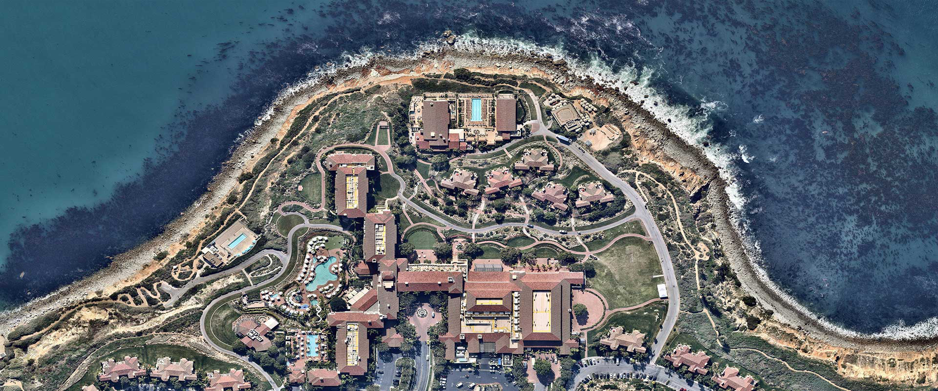
Aerial Map
A vertical aerial map gives a top or satellite view of a given property with information that is ty...
Read More
Read More


